Egyptian Journey Hub
Egyptian Journey Hub Travel Guides · Egypt

Egyptian Journey Hub

Palm tree fronds against a pale sky
Plate · Botanical Study

Native Coastal Flora

Folio reference of regional palm species

Navigating the Natural Wonders of the Egyptian Landscape

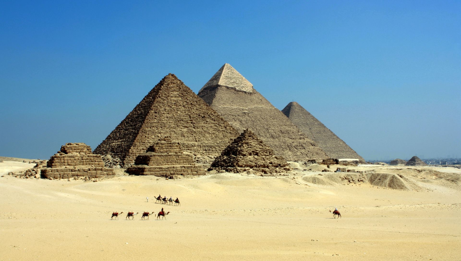
Welcome to a resource dedicated to the environmental and scenic diversity found across this historic region. As a traveller into Egypt, understanding the physical geography and the quiet beauty of the surroundings is the first step toward a meaningful experience. Our platform serves as a collection of travel guides focused on the raw elements of the land, from the swaying greenery of the riverbanks to the shifting heights of the eastern ridges. We provide the information you need to observe the local ecology and architecture without the pressure of commercial transactions or official tours.

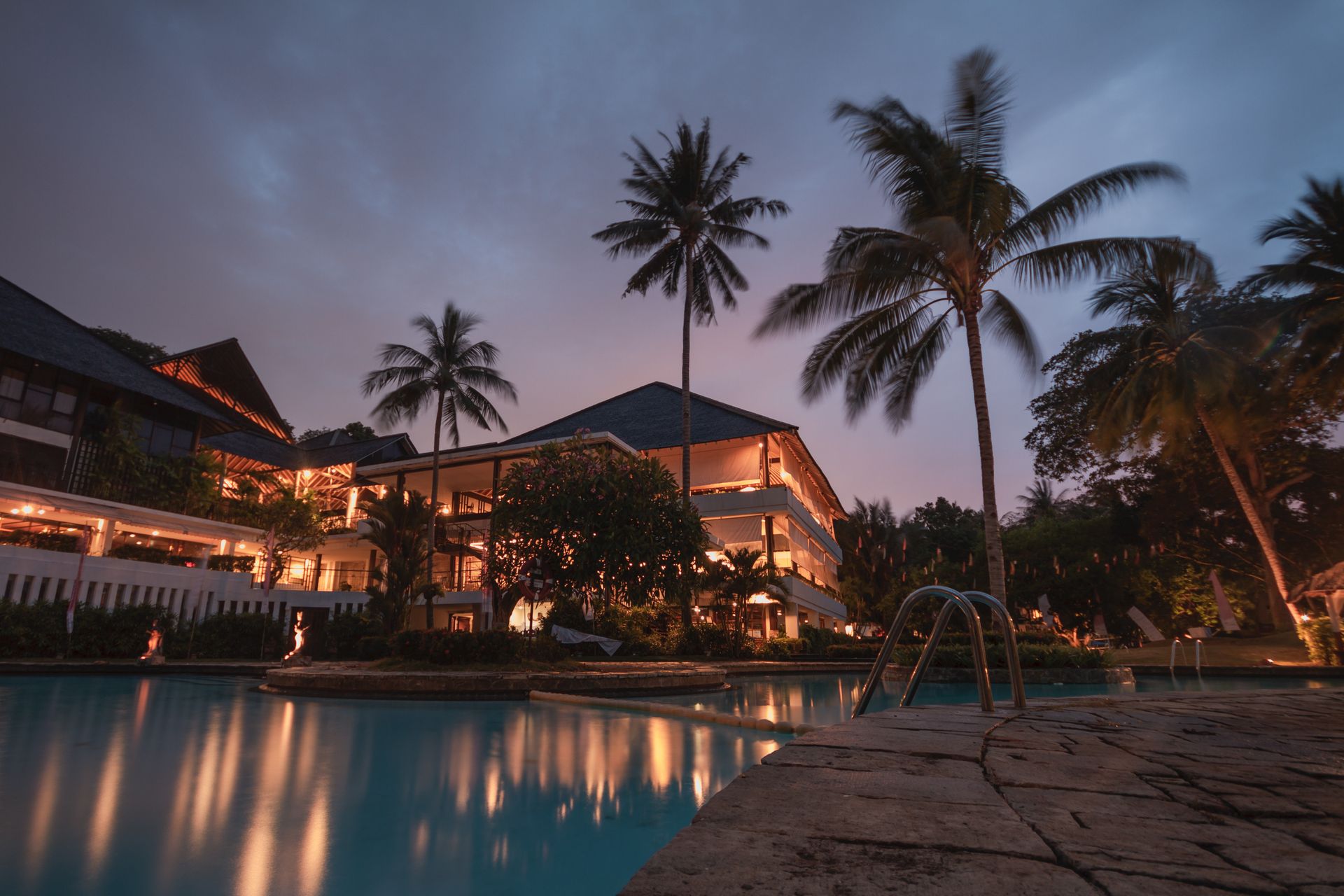
Cluster of palm trees along a coastline

The shoreline groves define a specific visual rhythm — native flora that creates small oases where the air feels noticeably cooler.

Section I · Coastal Flora

The Presence of Coastal Palms

The shoreline and rural groves offer a specific visual rhythm defined by the native flora. Large fronds provide natural shade against the intense sun, creating small oases where the air feels noticeably cooler. These clusters of palms are not just decorative; they are vital to the local ecosystem and have supported life in the arid zones for thousands of years. Observing these groves allows a visitor to appreciate how water distribution dictates where life flourishes within the dry climate.

The root systems of these trees reach deep into the soil, tapping into moisture reserves that remain hidden from the surface. This adaptation allows them to survive extended dry periods while continuing to shed the dead fronds that accumulate as a natural mulch around the base. The falling debris creates a micro-layer of compost that feeds the soil and shelters small ground organisms. When walking through a grove at midday, the temperature difference between the shaded interior and the open sand can be striking. Our travel guides note these zones as ideal rest points during long walks along the coast.

Archive Index

The Geography of the Region

Three intersecting threads define the spatial logic of this landscape. Understanding how water, soil, and open ground interact is essential reading for any traveller into Egypt preparing to move through the interior.

The Riverine Belt

The central artery of the region dictates the lifestyle and movement of everyone nearby. Rich silt deposits have created a narrow but incredibly fertile strip of land that contrasts sharply with the surrounding orange sands. When exploring this area, you will notice a transition from dense vegetation to stark rock formations within just a few kilometers.

This contrast is one of the most significant features highlighted in our egypt travelling guides, as it defines the spatial logic of the entire territory.

The Role of Silt and Soil

The soil composition varies wildly as one moves from the Delta regions to the southern stretches. In the north, the earth is dark and heavy, supporting vast agricultural efforts. As you head toward the interior, the soil turns to fine silt and eventually gives way to coarse, wind-swept grit.

Understanding these transitions is helpful for those planning long-distance overland movement, as the terrain dictates the pace of travel.

Navigating Open Spaces

The vastness of the open plains can be disorienting for those accustomed to urban density. Landmarks are often natural features like distinct rock outcroppings or specific ridges. Learning to read these natural signs is a skill that enhances the safety and depth of any journey.

We provide insights into how to maintain orientation using the sun and the prominent features of the horizon.

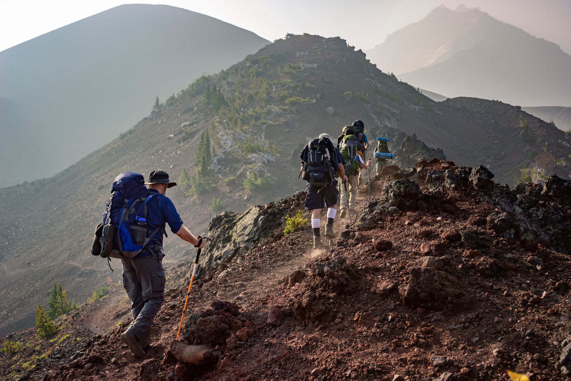
View from an elevated plateau across a valley
Plate · Elevation
Section II · High Altitude

High Altitude Perspectives

Moving away from the water sources leads toward elevated plateaus and rugged limestone heights. These areas offer expansive views where the horizon seems to stretch indefinitely under a clear blue sky. The air at these elevations is thinner and drier, requiring different physical preparation than a stroll through a valley.

Studying these landforms provides insight into the geological history that shaped the valleys below, offering a quiet space for reflection away from populated centers. The limestone layers visible on exposed cliff faces record a sequence of ancient shorelines and seabed deposits. Each band tells a story of a time when this land lay beneath a shallow sea. Reading those bands from bottom to top gives a visitor a compressed timeline of environmental change spanning millions of years. The silence at these elevations is pronounced; wind moves across exposed stone without the buffer of vegetation, producing a low, steady tone that many find meditative.

Preparation Note

Carry additional water and protect against wind exposure when walking at elevation. The dry air accelerates moisture loss from the body more rapidly than in the valleys.

Section III · Climate

Weather Patterns and Evening Light

Desert landscape at sunset with long shadows

As the sun sets, the landscape undergoes a dramatic color shift

This period is often the most comfortable time for outdoor exploration as the radiant heat from the ground begins to dissipate. The absence of heavy cloud cover means that the transition to night is swift, bringing a sudden coolness to the air. During the brighter months, visibility is exceptional, allowing for views of distant peaks that are usually obscured by heat haze in the mid-afternoon. Our travel guides suggest timing your outdoor observations to the early morning or late evening when the shadows lengthen across the sand. This practice reveals textures in the landscape that are invisible under the flat light of noon.

Morning Visibility

The early hours before the ground heats up offer the clearest distant views. Rock formations on the horizon appear sharp and detailed, making this the best window for landscape photography and orientation practice.

Coastal Breezes

Areas near the northern and eastern waters benefit from consistent maritime winds. These breezes circulate the air and provide relief during the peak of the thermal season. Our egypt travelling guides emphasize these zones for their unique microclimates.

Section IV · Human & Natural Design

Architecture and Floral Diversity

The built environment and the ground cover both respond to the same constraint: minimal water and wide temperature swings. Observing how each solves the problem deepens any journey through the region.

Traditional mud-brick wall surface texture
Plate · Material

Local materials providing natural insulation

Architectural Harmony

Traditional structures throughout the region often utilize local materials that blend into the earth. Mud-brick and limestone are frequently used because they provide natural insulation against the fluctuating temperatures of the desert. By observing how these buildings are positioned, you can learn about natural wind corridors used for cooling.

This site-specific knowledge helps a traveller into Egypt appreciate the ingenuity of local design that works with the environment rather than against it. The thickness of the walls slows heat transfer, keeping interiors cool during the day and warm after sunset. Narrow streets between buildings create shaded channels that funnel afternoon breezes into courtyards.

Floral Diversity

Beyond the prominent trees, the ground cover consists of hardy shrubs and flowering plants adapted to minimal rainfall. Many of these species have deep root systems or waxy leaves to prevent moisture loss. Identification of these plants can be a rewarding activity for those interested in botany.

These small bursts of green against the monochrome sand serve as a reminder of the resilience of nature in harsh conditions. Some species flower only for a brief window after rare rainfall, producing seeds that can remain dormant in the dry soil for years before the next cycle of growth.

Section V · Stewardship

Preservation and Movement

The landscape records every passage. How a visitor moves through it — and what they leave behind — determines whether the next traveller will find the same terrain.

Preservation of Natural Sites

Respecting the integrity of the land is a priority for every responsible visitor. The desert may look rugged, but it is a fragile environment where tracks can remain for years. We advocate for a "leave no trace" approach, ensuring that the beauty of the ridges and valleys remains intact for others. This involves staying on established paths and avoiding the disturbance of local wildlife habitats. Vehicle tracks cut into thin desert crust can persist for decades, and discarded waste takes far longer to decompose in arid conditions than in wetter climates.

Regional Connectivity

While the geography presents challenges, the natural corridors created by valleys and low-lying plains have facilitated movement for millennia. These paths are the foundation of current routes through the landscape. By following these ancient lines of travel, one gains a sense of the historical flow of people through the region. Our resource aims to connect you with these traditional paths through informed observation. The logic of movement here has always followed water — paths trace the river, then climb toward passes where the terrain allows, then descend into the next valley network.

Practical Guidance

Our travel guides compile practical observations about timing, water, and orientation so that visitors can prepare for the conditions they will actually meet. Reading the land before walking it is the core habit we encourage. The more you understand the terrain, the fewer surprises the journey holds. Preparation also means recognizing your own limits — the heat and dryness place demands on the body that differ from those in cooler climates.

Site Gateway

Continue exploring the regional landscape

Our egypt travelling guides are organized into three practical areas. Each section builds on the geography and climate covered here, moving from landscape observation into preparation and safety. Choose the thread that matches where you are in your planning.

Contact Resource Desk

Questions about the material in our guides or requests for additional regional detail can be directed to our editorial desk.

13 El-Mansour Mohammed, Abu Al Feda, Zamalek, Cairo Governorate 11211, Egypt

+20227377969

[email protected]

Mon–Fri: 9:00–18:00

General Inquiries →